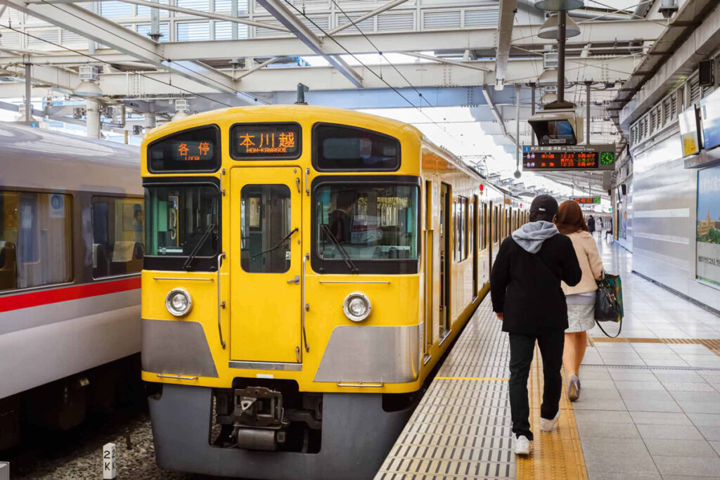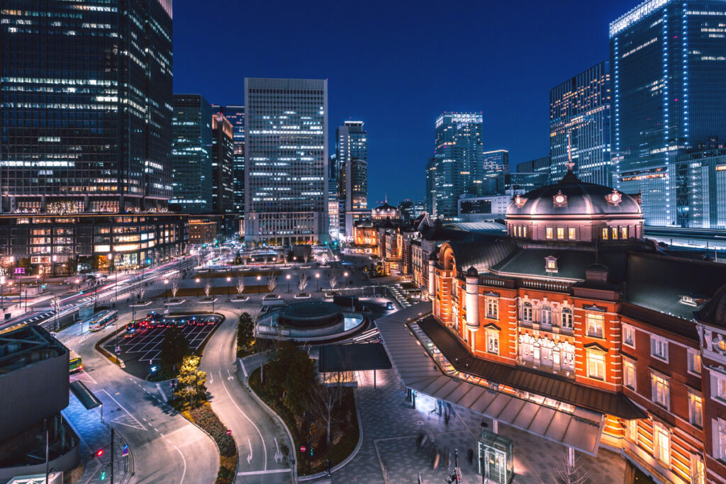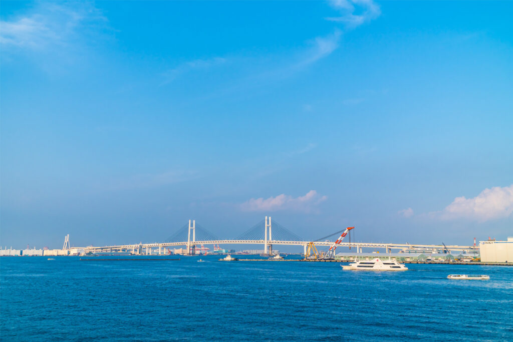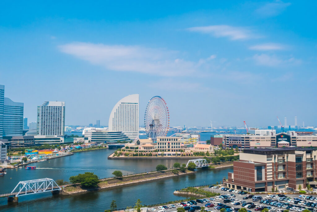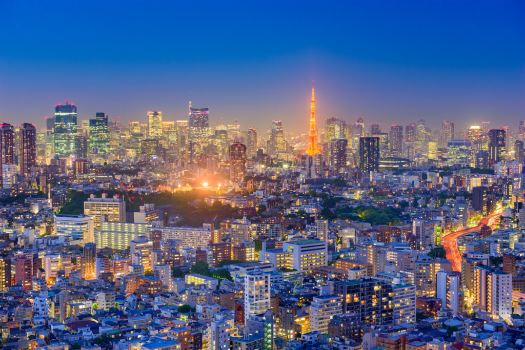
Kanto is a region in Japan that is located on the eastern side of Honshu Island. It is one of the most densely populated regions in Japan and includes the Greater Tokyo Area, which is the largest metropolitan area in the world. The region is known for its vibrant urban centers, historical landmarks, and beautiful natural scenery.
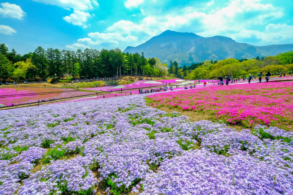
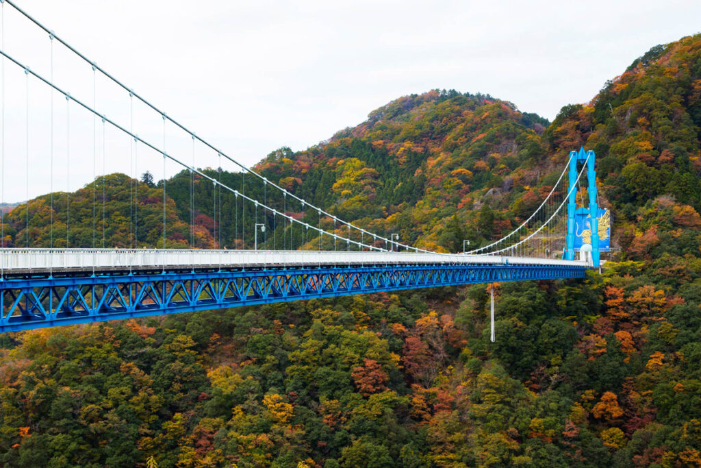
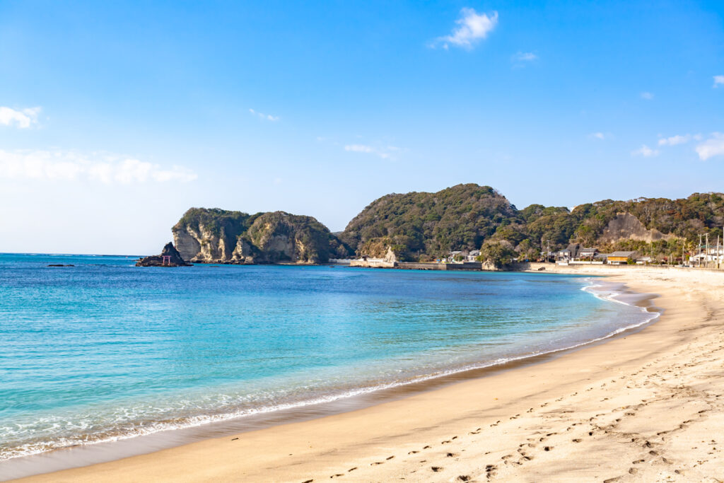
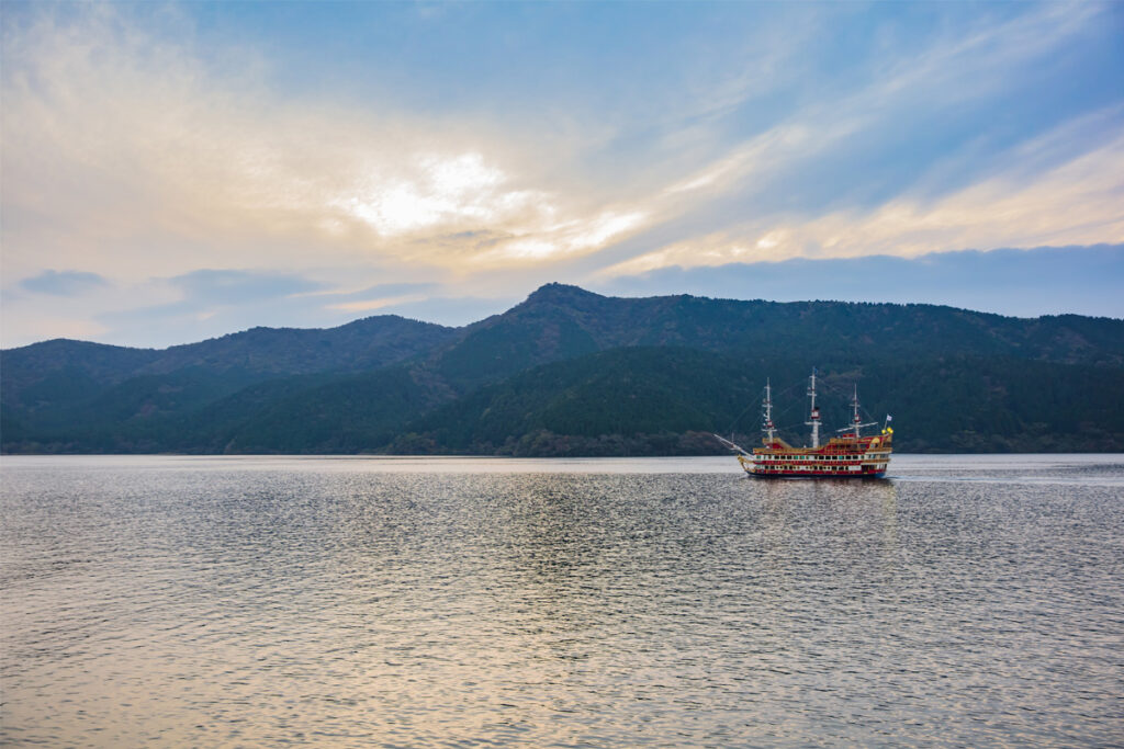
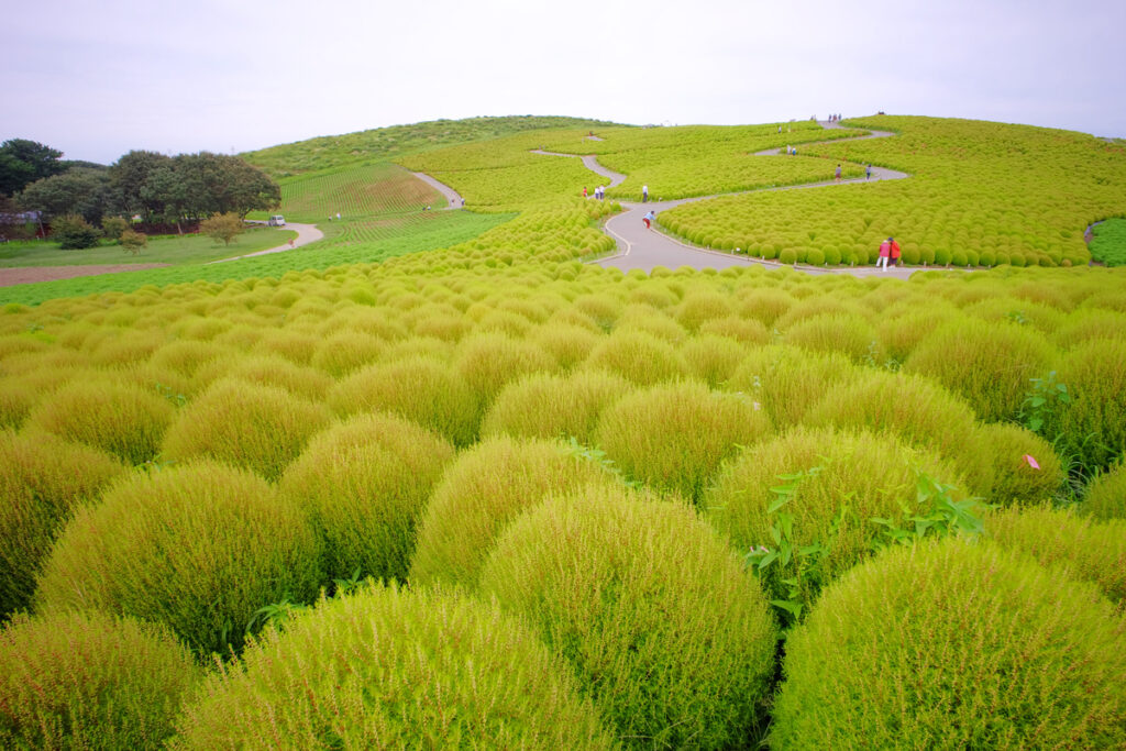
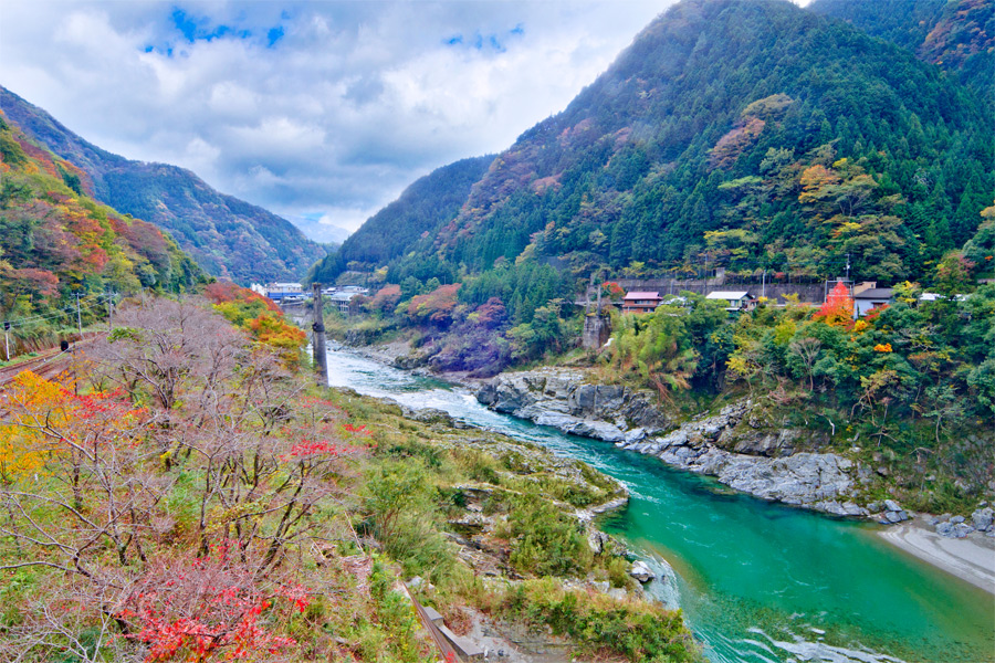
Geographically, Kanto is characterized by the Kanto Plain, which is a large flat area that stretches from Tokyo Bay to the Pacific Ocean. The region experiences a humid subtropical climate with hot, humid summers and cool winters. Kanto has a rich history that dates back to ancient times. The region was once the center of political power in Japan and was the birthplace of the samurai culture. In addition to its history and urban centers, Kanto is also known for its natural beauty. The region is home to Mount Fuji, Japan’s highest mountain, as well as numerous national parks, including Nikko National Park, Chichibu-Tama-Kai National Park, and Fuji-Hakone-Izu National Park.
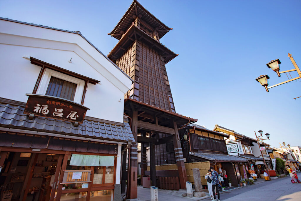
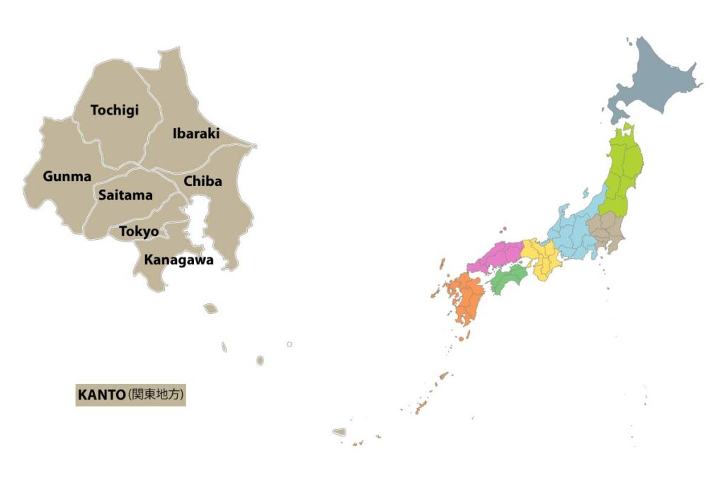
Kanto is comprised of seven prefectures: Tokyo, Chiba, Gunma, Ibaraki, Kanagawa, Saitama, and Tochigi. Each prefecture has its own unique attractions, cultural traditions, and cuisine, making Kanto a fascinating region to explore.